Total Mileage: ~8 miles
Total Elevation: ~5500 feet
Starting Point: Angel of Shavano Trailhead
Group: solo
(click to enlarge photos)
I had been thinking of climbing another 14er and I had a few in mind. Weather, conditions, and an opportunity for a unique route led me to choose Shavano. My usual route finding research ensued. I consulted
14ers.com and
Gerry Roaches Colorado's Fourteeners. I found a route description in Roach's book that was not found on 14ers.com and intrigue set in. The starting point was the Angel of Shavano trailhead and the first instruction in Roach's guidebook was "bushwhack .5 miles due north." This route is a snow only route due to the environmental damage that hiking would cause if there was no snow. The snow is melting fast on the mountains it seems so I decided on the "bushwhacking" snow route. This route would require the summit of a 13er called Esprit Point which would end up being the first 13er in Colorado I've climbed.
Roach's instructions were to stay North-Northwest maintaining a position between two drainages to the east and west. So it turned out that not having a trail wasn't any kind of disadvantage. There was really only way to go up. As the ridge steepened I began to switchback my way up the mountain. Here's the general route up (red) and down (green).
 |
| Shavano is barely visible and I'm 92% sure that Esprit is not visible here. |
The way down involved a glissade that may have been more work than it actually saved me. I was making decent time when I hit treeline.
 |
| A look behind at the trees I just came from. |
 |
| Mt Ouray to the Southeast |
 |
| This is me thinking I'm much farther along than I really am. |
 |
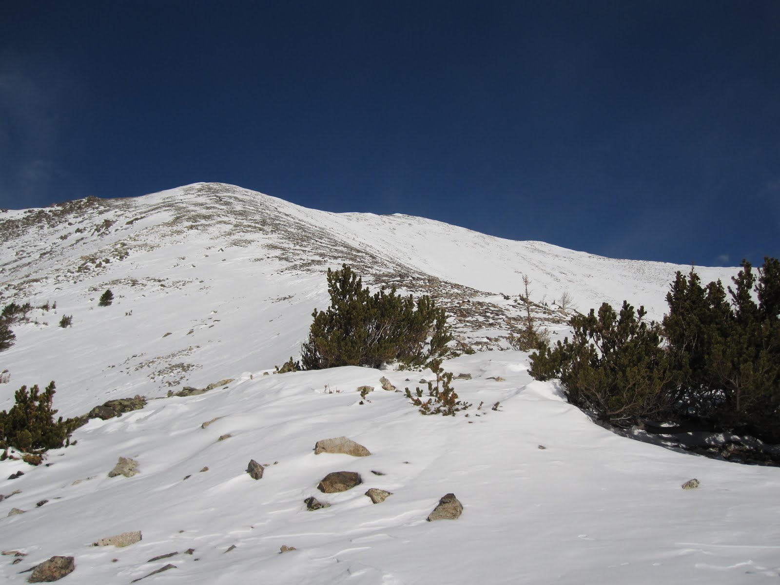
| The way up to the ridge that leads to Esprit Point. |
I felt great coming out of the trees. I did feel like I was farther than I really was. Getting to that ridge I had views of Shavano and Esprit and I realized that I was not nearly as close as I thought I was. When became strong and unrelenting from the time I topped that ridge until the time I left it hours later. Every now and again I would find myself with a minute or so of relief and I hoped it would let up eventually. It didn't. This has been my experience hiking above 13,000 ft. The top of Esprit would signify 4500 feet of elevation gain over about 3 miles. It had taken about 5 hours. Another hour and twenty minutes later I was sitting on top of Shavano and I knew that I would be calling it a day. Tabeguache Peak (14,155 ft) was less than a mile away but the thought of re-summiting Shavano to get back seemed too much this day. I enjoyed myself on the summit for about 15 minutes and started the journey back to the car.
 |
| Mount Shavano viewed from 13,300 ft. Almost 1000 vertical feet to go. |
 |
| Climbing up Shavano's last pitch looking back on Esprit Point. |
 |
| Summit! |
 |
| I'll to come back for this one. |
 |
| Mount Ouray again. |
 |
| The Sawatch range! |
The way back was just like the way up. Except that instead of staying between the two drainages I got myself nestled in the east drainage and let the snow slide me right down. I probably descended about 2000 vertical feet in under 5 minutes. Great fun. I essentially followed the drainage right out and ended up back on County Road 240 which is the road I came in on. I missed the trailhead by about 300 yards. Found my way back to car around 3:30 pm making it about a 9.5 hour round trip.
 |
| A look up the drainage well below snow level. |
 |
Last look at Shavano and Esprit before heading home.
|
I wish I could've tackled Tabeguache as well but a time commitment left me pressed to get home. I'm excited for summer to arrive to be able to hit these mountains without snow and with full access to the trailheads. I've loved hiking in the winter and spring but each season has it's own element of excitement that it brings.
Notes to Self:
-weigh my pack before leaving next time (I'm curious as to how much weight is on my back)
-be thorough with sunscreen (the under part of my nose got it bad, but that's it)


Hi Brady,
ReplyDeletethanks for posting right after you got back, as I was hoping someone would leave some comments on Shavano this time of year.
- How far could you go towards the Angel Of Shavano TH? All the way?
- Can one see the Angel of Shavano couloir in any of your fotos?
Thanks, Ute
Thanks I am heading up in the AM and this helps a lot. I plan to hit the peak to the lookers left of Shavano. I am trying to ski every peak visible from my house and that is on my list.
ReplyDelete@Ute,
ReplyDeleteI easily made it all the way to the Angel of Shavano TH. The couloir is visible in a few of the photos. The Angel is not though. There was too much snow to distinguish the Angel's head or arms. With the warm weather coming in I'm sure this wont be the case for long.
my favorite part of your posts is the "notes to self".
ReplyDeleteGREAT pictures.